top of page
Map Projects
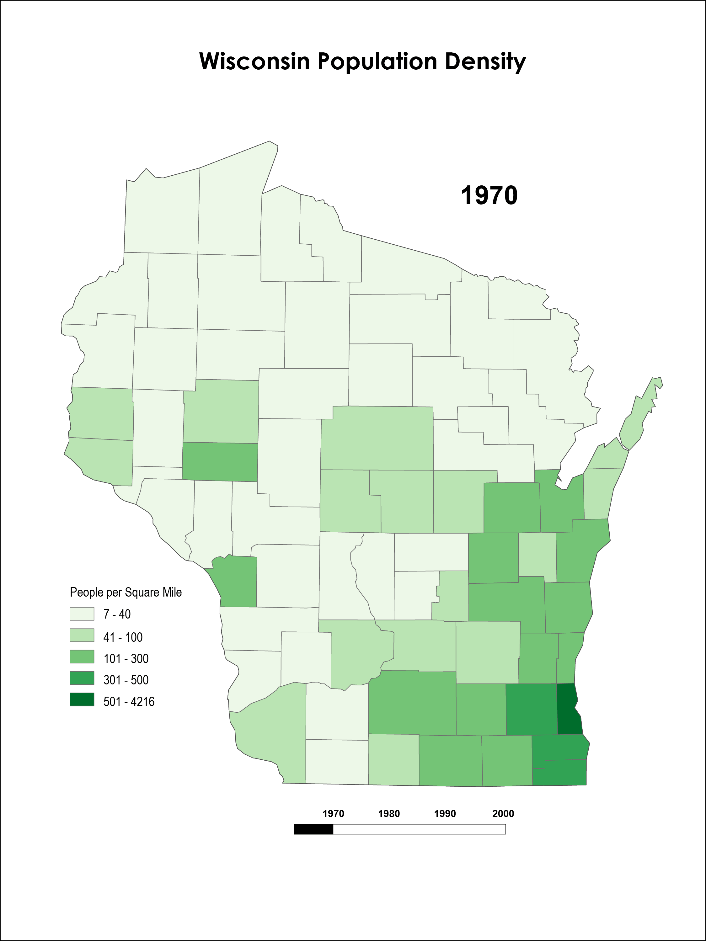
This is an animation map of Wisconsin population density in the years 1970, 1980, 1990, and 2000. For this map I used ArcMap to get state outline and density, then I used Adobe Illustrator for the legend, scale bar, title, and year, then exported each year to Adobe Photoshop and designed an animation.
bottom of page